Home > Tag > Lake St Clair

Welcome to the official site for FEMA's Great Lakes Coastal Flood Study, the comprehensive storm and wind study of the Great Lakes basin for the purpose of updating the coastal flood hazard information and Flood Insurance Rate Maps (FIRM) for Great Lakes coastal communities. Below you’ll find a list of the most recent meetings with their agendas, links to preliminary maps, and presentations. To the left you’ll find additional Great Lakes Coastal Flood Study content.

FEMA created this self-guided tutorial on coastal flood mapping that provides important information to coastal communities and their residents. FEMA’s “Coastal Hazards and Coastal Mapping: A Visual Guide” is a glossary of coastal mapping terms and a companion to the tutorial.

View all posts by lake: Lake Superior | Lake Michigan | Lake Huron | Lake St. Clair | Lake Erie | Lake Ontario

View all posts by state: Minnesota | Wisconsin | Illinois | Indiana | Michigan | Ohio | Pensylvania | New York


Posts

Lake St. Clair Consultation Coordination Officer and Open House Meetings

St. Clair County, Michigan CCO Meeting Presentation [.pdf]
Tuesday, February 26, 2019
CCO 1:00-3:00pm, Open House 4:00-6:00pm
Clay Township Hall
4710 Pointe Tremble Road (M29)
Clay Township, Michigan 48001

Wayne County, Michigan CCO Meeting Presentation [.pdf]
Wednesday, February 27, 2019
CCO 2:00-4:00pm, Open House 5:00-7:00pm
Wayne County Community College, Frank Hayden Room
1001 W. Fort Street
Detroit, MI 48226

Macomb County, Michigan CCO Meeting Presentation [.pdf]
Thursday, February 28, 2019
CCO 2:00-4:00pm, Open House 5:00-7:00pm
Macomb Community College
K Building, Macomb Room South (K301S)
14500 Twelve Mile Road
Warren, Michigan 48088

Updated Fact Sheets

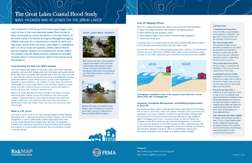
Wave Hazards and VE Zones on the Great Lakes Fact Sheet:

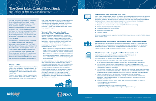
The Letter of Map Revision Process Fact Sheet:

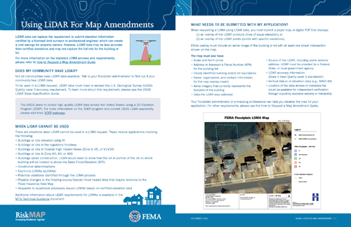
Using LiDAR for Map Amendments Fact Sheet:

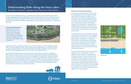
Understanding Risks Along the Great Lakes: The Impact of Coastal Armoring Structures on Flood Hazards Fact Sheet:

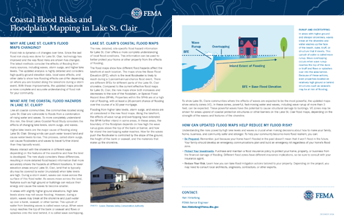
Coastal Flood Risks and Floodplain Mapping in Lake St. Clair Fact Sheet:

The fact sheets above are posted on the Fact Sheets page.

Lake St. Clair Report Published for GLCFS

Great Lakes Coastal Flood Study has finalized another report related to this 2012 Federal Inter-Agency Initiative. The report linked below deals with the modeling done on Lake St. Clair.

Links to resources like the Published Reports above are posted on the Technical Resources page.